 Common Sense Logic
 RampPlan
Plan the ramp at true scale.
RampPlan places aircraft and equipment at their real dimensions on aerial imagery and checks whether each aircraft can taxi into position.
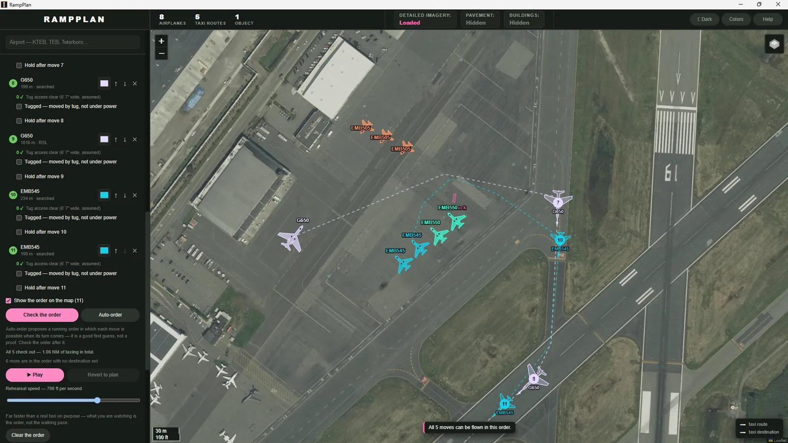
From airport search to a verified plan.
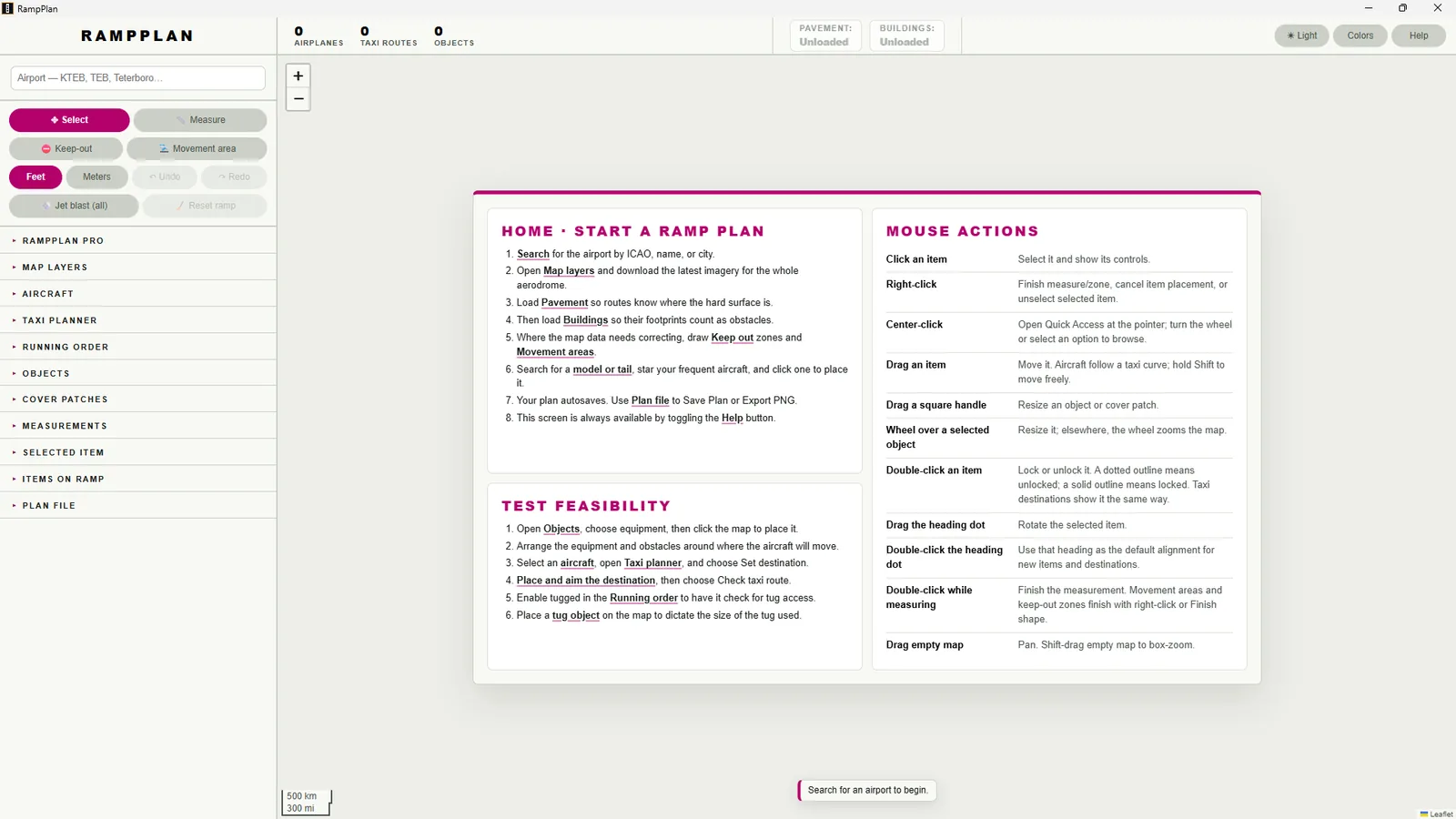
1 Start
Search by ICAO code, name or city. A built-in guide covers each step.
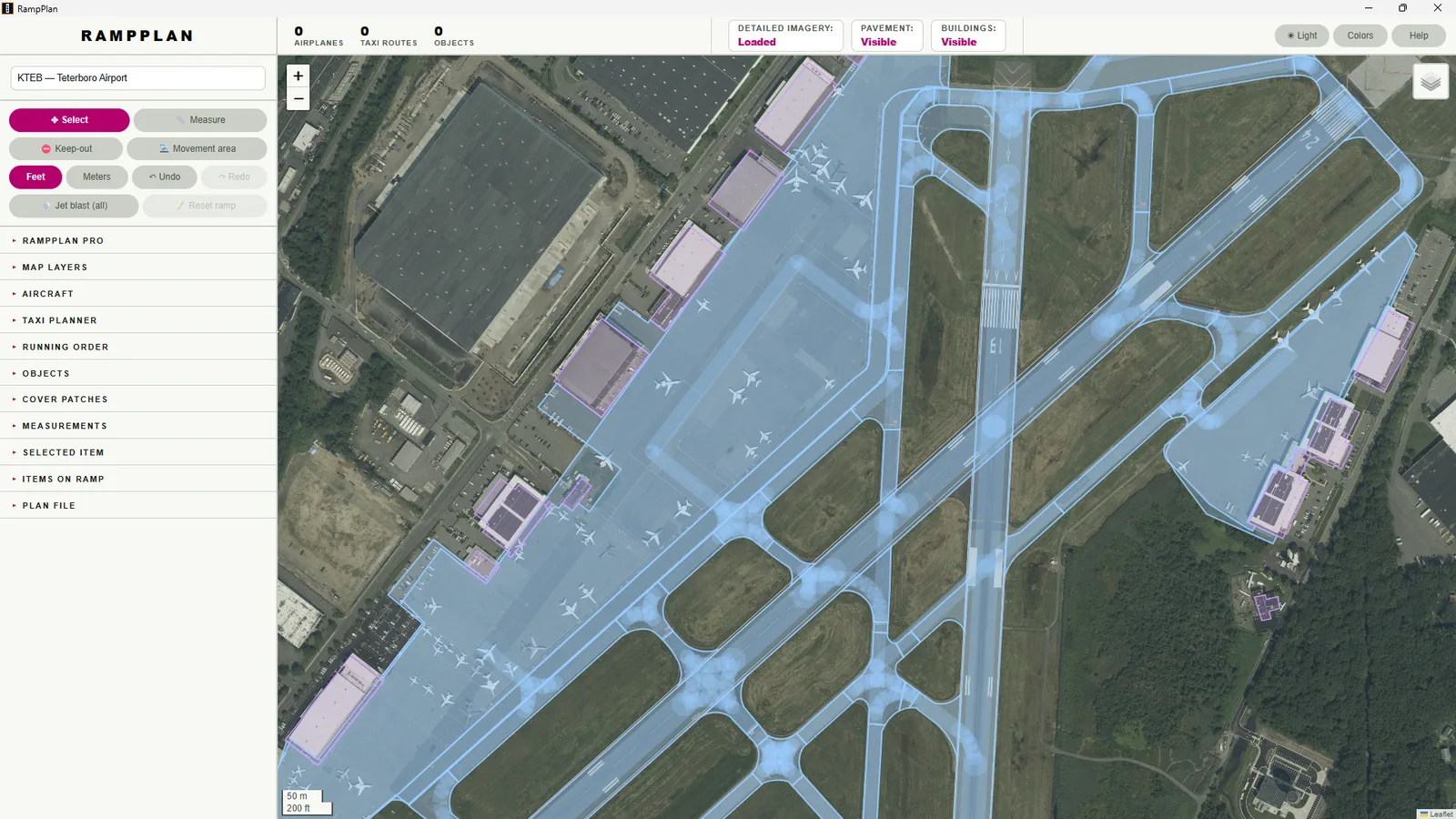
2 Map the ground
Pavement and building footprints load from FAA and OpenStreetMap data. Buildings are treated as obstacles.
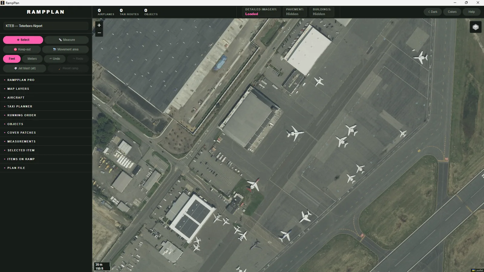
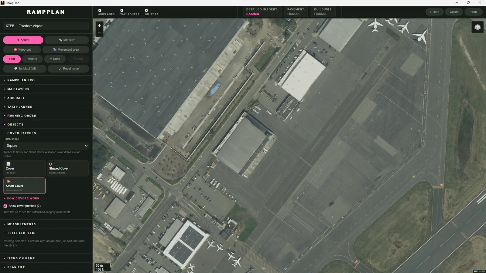
3 Remove clutter
Smart Cover removes parked aircraft from the imagery and preserves the ground markings.
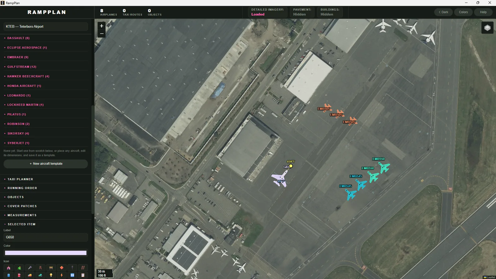
4 Place aircraft
Choose from 95 types or look up a tail number. Each outline is generated from the aircraft's published dimensions.
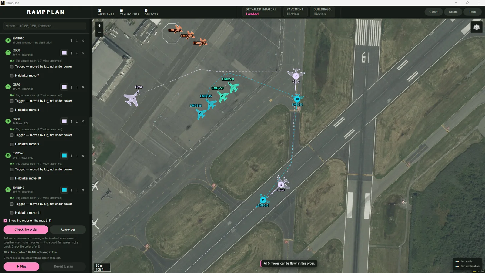
5 Check the sequence
Assign destinations and check the running order. RampPlan flags any blocked move and can replay the sequence.
An aircraft cannot reverse.
Dubins paths
With no reverse and a minimum turning radius, the shortest route consists of arcs and straight segments. If no such route fits, the aircraft requires a tug.
Metric storage
Plans are stored in meters relative to the airport, so dimensions stay exact at every zoom level.
Jet blast
Each blast contour lists every object inside it.
The planner is free. Pro adds worldwide imagery.
If Pro ends, you still keep your plans.
RampPlan Free
$0
- Full planner and feasibility checks
- USGS and OpenStreetMap maps
- Your own drone imagery
Pro Monthly
$14.99 / MONTH
- Worldwide aerial imagery
- Cancel anytime
Pro Annual
$149.99 / YEAR
- Worldwide aerial imagery
- Saves $29.89 per year
RampPlan is a planning aid. Aircraft dimensions are editable, and blast contours are not certified.